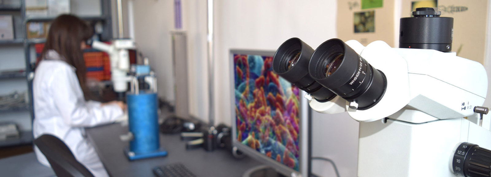
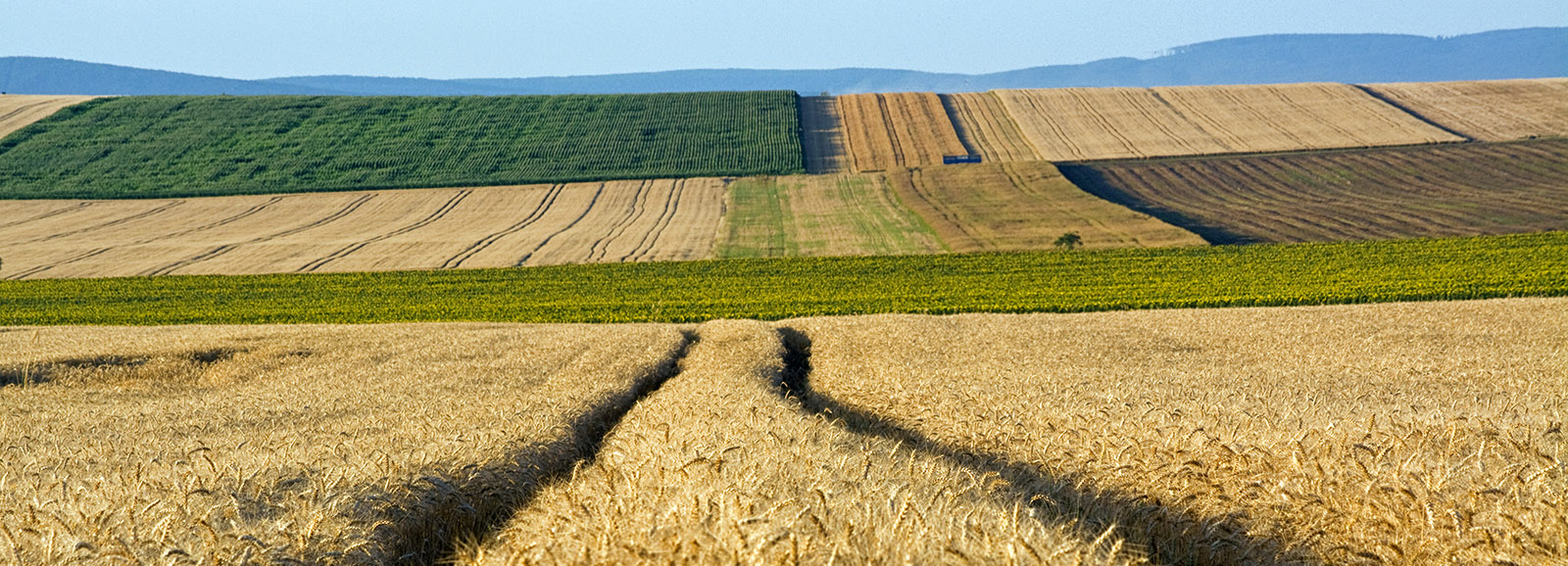
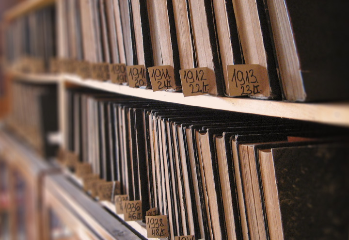
Department of Environmental Informatics

History

The Department of Environmental Informatics was established as GIS Labor in 1993. The establishment was made possible by the Hungarian adaptation of international SOTER (Soil and Terrain Digital Database) program (HunSOTER) and methodology.

At first the GIS Labor’s main activity was setting up a digital database according to the soil data accumulated from previous research.

During the 1990s we organized mainly regional, complex soil and environmental databases in order to support rational land use (Agrotopo), describe soil degradation (MERA) and its environmental condition (ECM), to support decisions about natural resources. With the extension of GIS environment and spatial knowledge, the Labor’s activity tended toward more detailed applied research issues.

The developing of the integrated Geographical Informational Systems began with the changing of the millennium (Kreybig). This helps settlements and big farms with land use related decisions, and realisation of regional development programs.

At this time the GIS Labor also endeavoured to substantiate farm development according to the plots’ data, furthermore publishing the large-scale map-based information on the web (to organize a Thematic Soil Data Server - Tematikus Talajtani Adatszerver).

Since the year 2000, we examined questions and problems on the subjects of soil, agricultural land use and agricultural-environments based on large-scale soil maps connected mainly with the New Vásárhelyi Plan (VTT). We made a methodological study of the complex evaluation of the environmental and natural state of Hungary (KÉP). The soil evaluation occurred according to the European methodological framework (DPSIR) and its cause and effect indication system.

Informatics background

Computer network connection:

  • Connect to IIF HBON network with ADSL
  • LAN network with INTEL P4 PCs and Windows XP operation system

Server based GIS technological background:

  • File and backup servers IBM xSeries Windows 2003 server
  • Map server (IBM xSeries Windows 2003 server)
  • Database server (IBM xSeries Windows 2003 server)
  • Autodesk MapGuide Server
  • ArcGIS 9.0 and ArcView 3.x
  • MS SQL Server 2000